Catalogue Sigogne
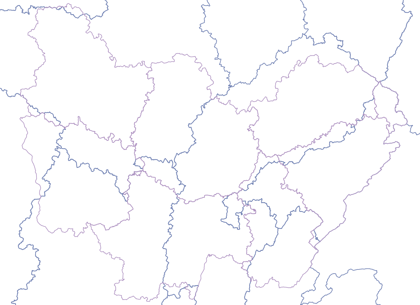
Sous-bassins administratifs DCE
Le sous bassin DCE administratif est un niveau intermédiaire d’agrégation entre la masse d’eau et le basin DCE.
Il a été mis en œuvre fin 2008 à la demande de la Commission Européenne pour des objectifs de rapportage et de visualisation
En France, le sous bassin DCE administratif est défini comme la zone de compétence des Commissions territoriales.
Le sous bassin DCE administratif est dérivé du thème administratif BDCarto®.
Sa représentation cartographique est l'agrégation des polygones des communes le composant.
Simple
- Date (Revision)
- 2019-02-19T11:58:10
- Date (Publication)
- 2019-02-19T09:00:00
- Identifier
- https://inspire.ternum-bfc.fr/geonetwork/srv/fre/catalog.search#/metadata/818fb170-f859-47a9-9925-7718ced63a59
-
GEMET - INSPIRE themes, version 1.0
-
-
Hydrographie
-
-
Régions de France
-
-
BOURGOGNE
-
FRANCHE-COMTE
-
-
theme.prodige.rdf
-
-
Grand public
-
Sphère publique
-
-
OPENDATA
-
-
données ouvertes
-
- Theme
-
-
bassin
-
sous-bassin
-
-
theme.prodige.rdf
-
-
Grand public
-
Masse d'eau
-
DREAL BFC
-
-
theme.prodige.rdf
-
-
Masse d'eau
-
DREAL BFC
-
Grand public
-
- Use limitation
-
Données ouvertes
- Access constraints
- Other restrictions
- Use constraints
- Copyright
- Other constraints
-
Pas de restriction d’accès public selon INSPIRE
- Spatial representation type
- Vector
- Denominator
- 25000
- Metadata language
-
fre
- Character set
- UTF8
- Topic category
-
- Inland waters
))
- Description
-
BOURGOGNE-FRANCHE-COMTE
- Reference system identifier
- EPSG / RGF93 / Lambert-93 (EPSG:2154) / 7.4
- OnLine resource
- lien vers fiche du catalogue du SANDRE permettant le téléchargement des données ( WWW:LINK-1.0-http--link )
- OnLine resource
- sigogne:nature_sous_bassins_dce ( OGC:WMS )
- OnLine resource
- sigogne:nature_sous_bassins_dce ( OGC:WFS )
- Hierarchy level
- Dataset
- Statement
-
données en provenance du SANDRE
- File identifier
- 818fb170-f859-47a9-9925-7718ced63a59 XML
- Metadata language
- Français
- Character set
- UTF8
- Hierarchy level
- Dataset
- Date stamp
- 2023-06-16T08:11:49
- Metadata standard name
-
ISO 19115:2003/19139
- Metadata standard version
-
1.0
Overviews
Spatial extent
Provided by